Good afternoon — hope you’re having a good afternoon. It’s Sunday, November 15th — National Clean Out Your Refrigerator Day, America Recycles Day, and National Philanthropy Day too. A good day to clear out the fridge, recycle something, and maybe do a kind turn for somebody.
“You can’t stop the waves, but you can learn to surf.” — Jon Kabat-Zinn
Two words for this afternoon: dry, then rain. Today itself is a pleasant, dry Sunday — it’s tonight that the next round of rain moves in, and the bigger story is the strong storm lining up for Wednesday night into Thursday. Here’s the full picture.

Weather Anywhere
Want the forecast for somewhere else? Type any place — the forecast, stripped down to the words that matter.
Forecasts: U.S. places from the National Weather Service; elsewhere from Open-Meteo. Full Weather Anywhere page
Get Dave's Weather as an app
Add the forecast to your home screen — one tap, and it's right there every morning.
On iPhone: tap Share, then Add to Home Screen to install Dave's Weather.
The big picture
Today is the calm in the middle of a busy stretch. A weak ridge overhead keeps us dry all day Sunday, with mostly cloudy skies and highs a couple of degrees warmer than yesterday — upper 60s to mid-70s across much of the area, still just a touch below normal for mid-November. Get the outdoor plans in today, because the pattern turns wet again tonight.
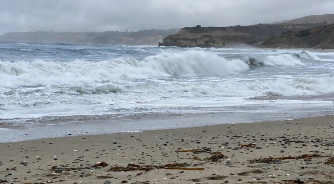
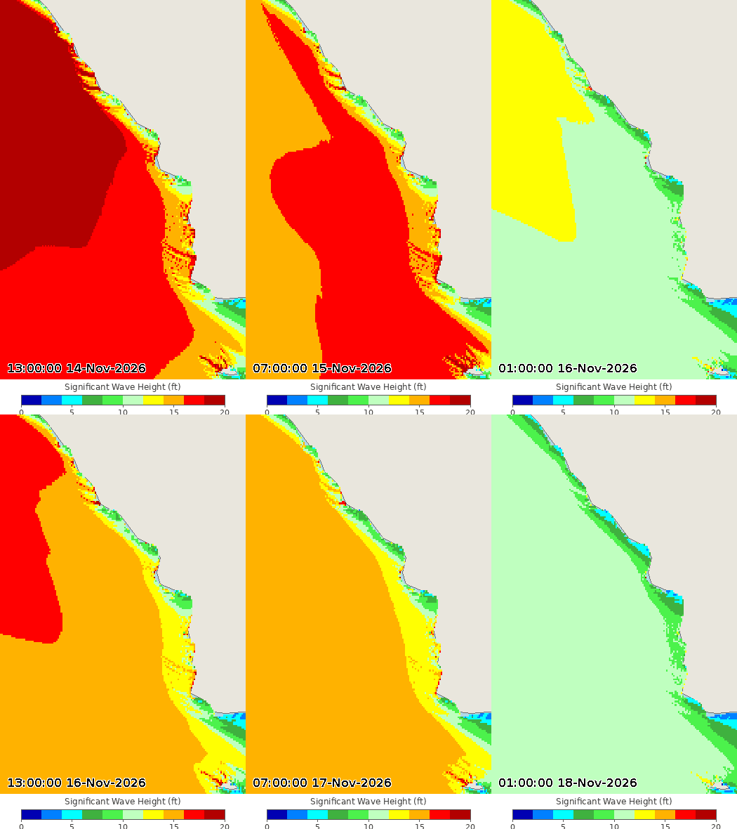
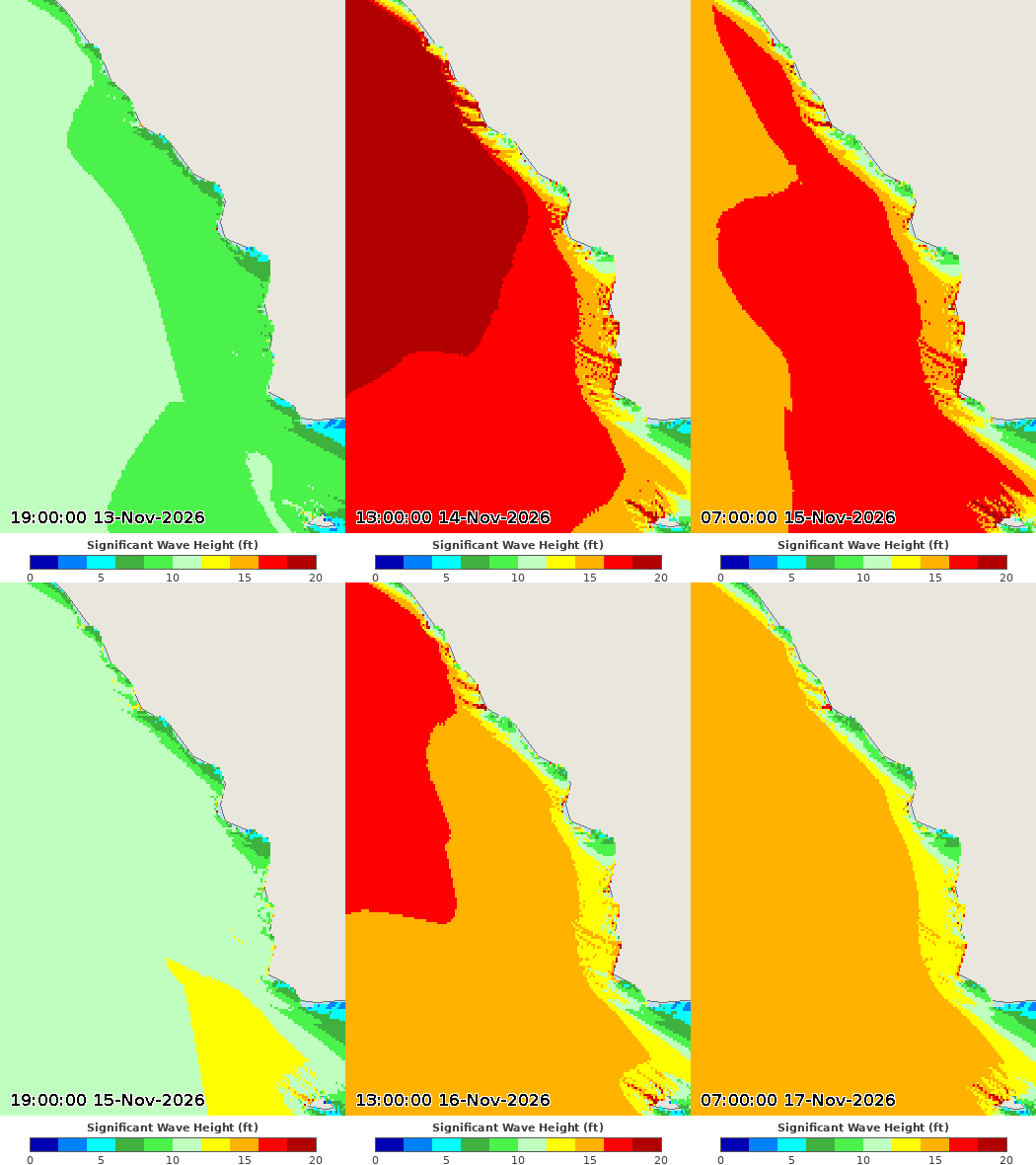
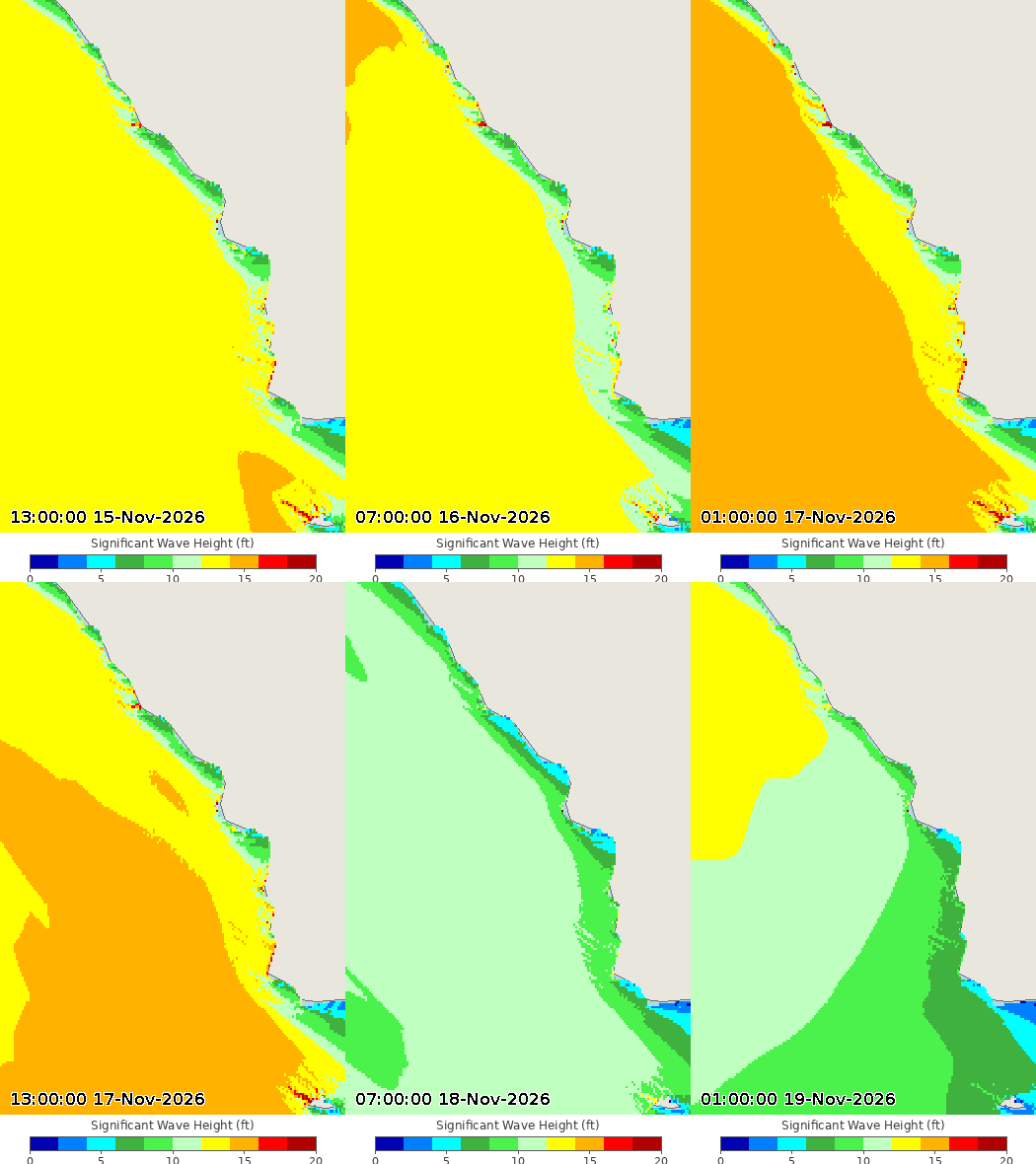
The surf is still putting on a show this morning. Very large, long-period west-northwest swells peaked yesterday at 15 to 20 feet on the Central Coast and are easing through today — a High Surf Warning remains in effect until 4 p.m. today, with a High Surf Advisory after that through Tuesday afternoon, and a secondary swell increase is likely Monday. Expect continued beach erosion, shallow flooding of low-lying walkways, parking lots and roads near high tide in the morning, dangerous rip currents, strong longshore currents, sneaker waves, and heavy shore pound, with breaking waves at the Morro Bay Harbor entrance and the Pismo and Cayucos piers, and sandy beach flooding possible at Oceano Dunes and other low-lying spots. South-facing shores will see less. Enjoy it from well back.
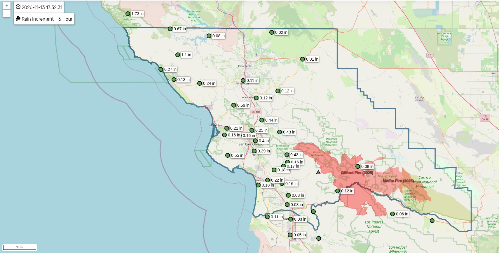
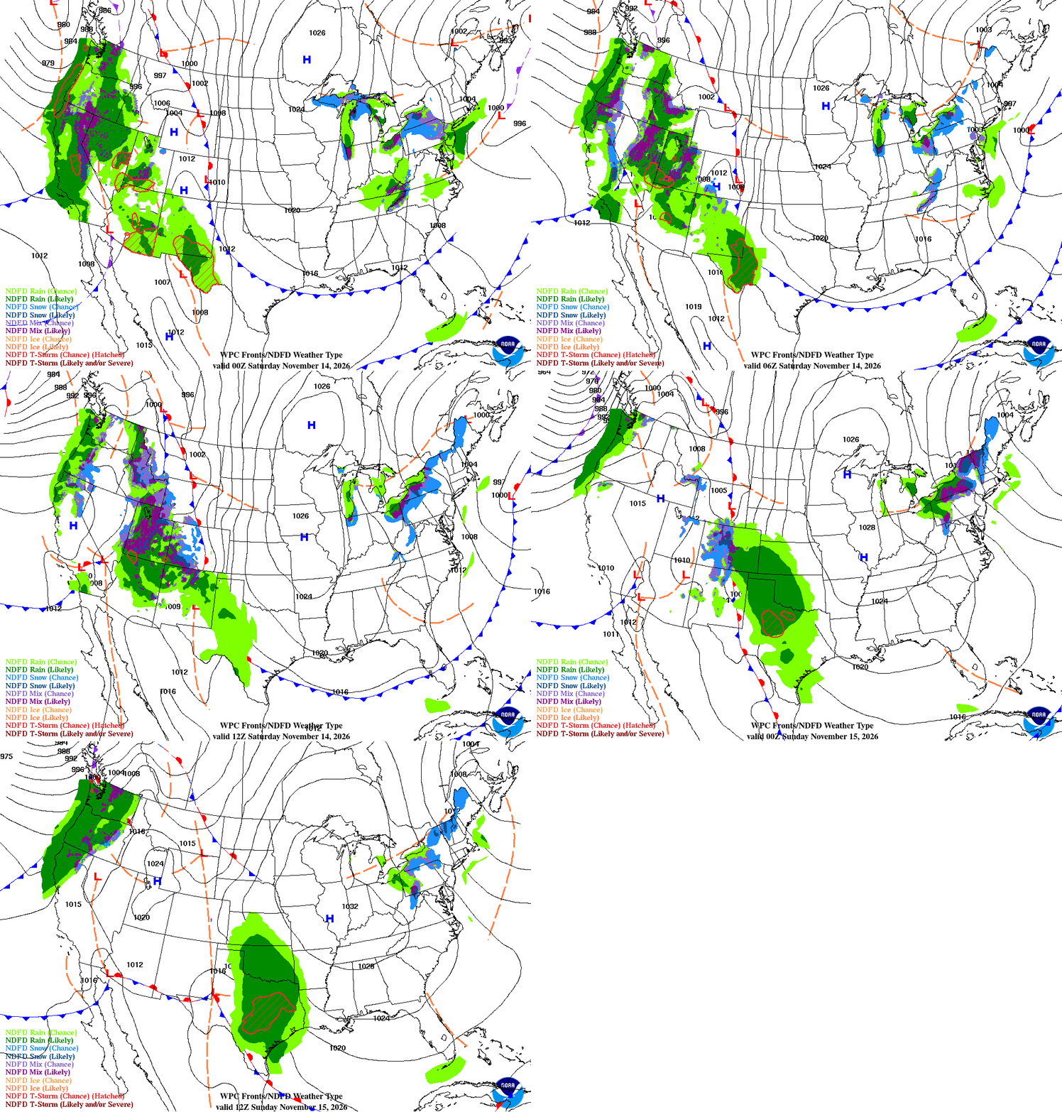
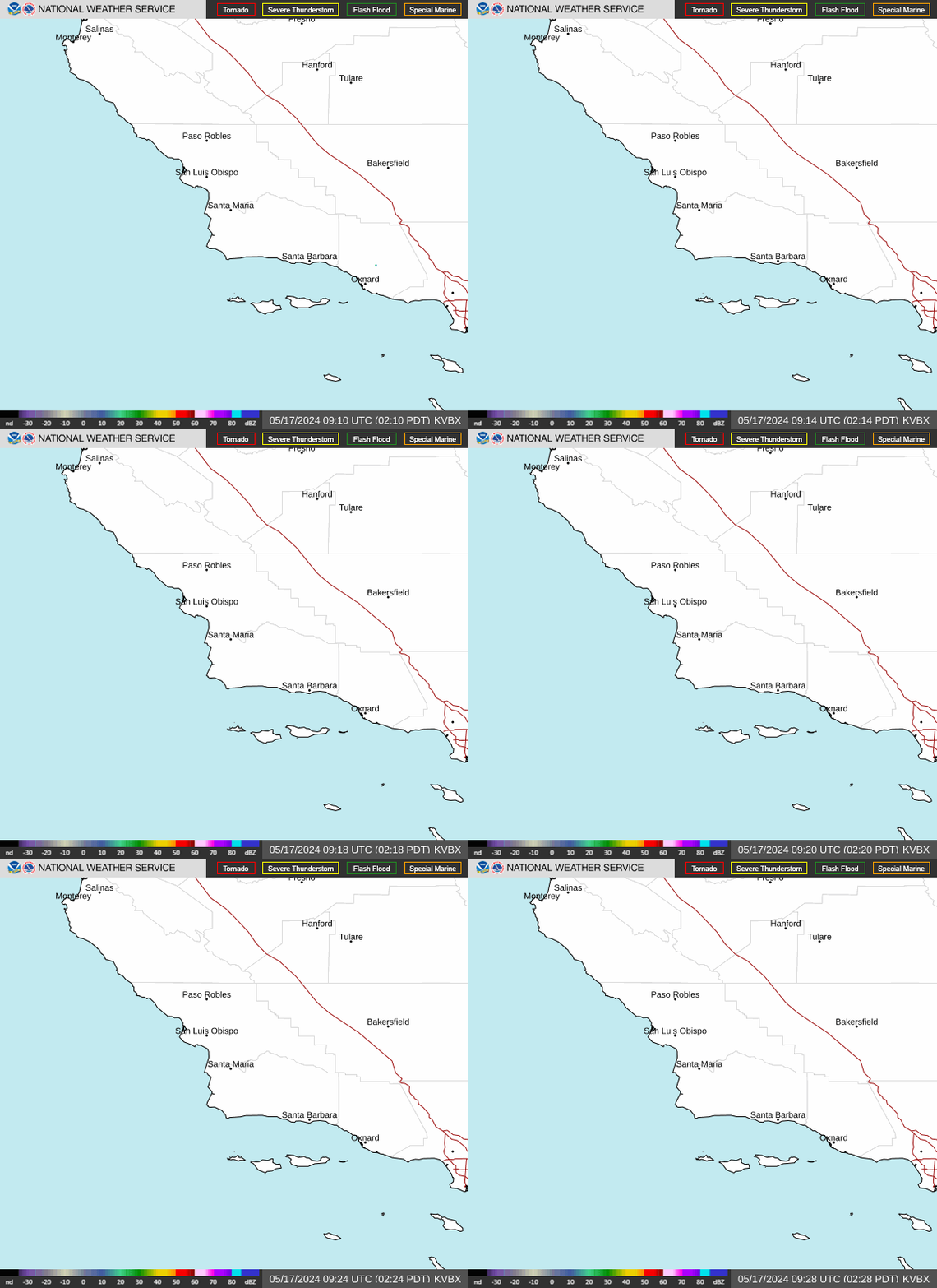
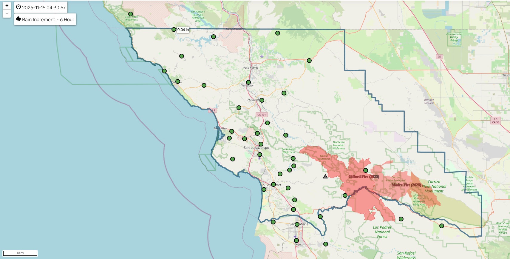
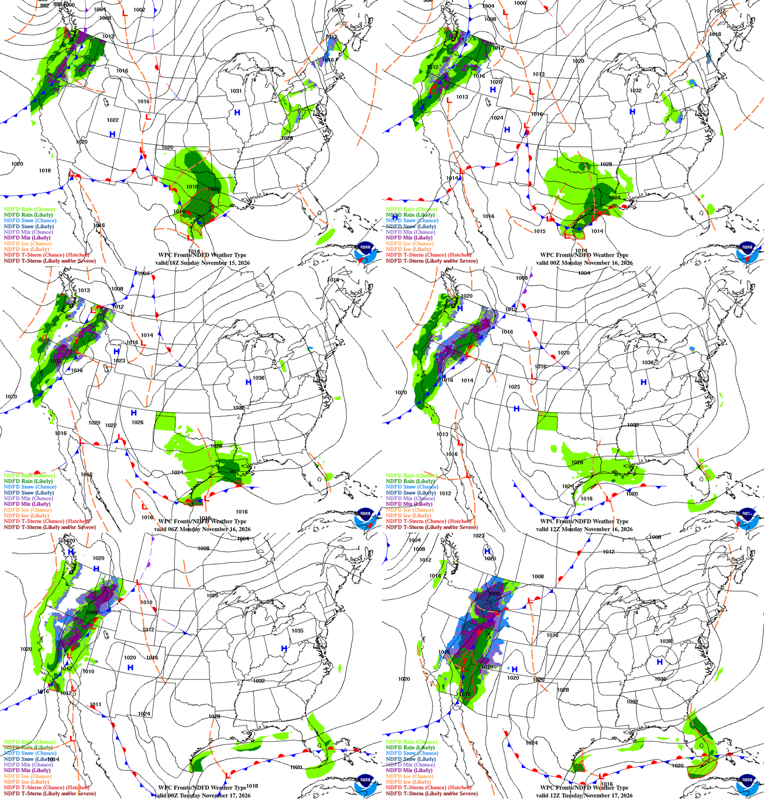
Tonight the next cold front moves in from north to south. Rain starts after about 10 p.m. on the Central Coast and lasts into Monday, winding down by Monday night. This one is light — a third of an inch or less for most of us, with the best totals across northwest San Luis Obispo County, and most local gauges likely under a tenth of an inch. Behind it, northwest winds pick up Monday night, especially through the I-5 Corridor and across the Santa Ynez Range, with a 30 to 40 percent chance of advisory-level gusts.
Tuesday is the dry, cool break — clearing skies and highs 5 to 10 degrees below normal.
Then the main event: a fairly significant storm system arrives Wednesday into Thursday. Rain spreads into San Luis Obispo and Santa Barbara Counties Wednesday afternoon, the main front moves slowly through Wednesday night into Thursday, and showers linger Thursday night. This one could bring 1 to 3 inches of rain, with local amounts of 3 to 5 inches possible along favored south-facing slopes, where southerly flow wrings out extra moisture. There is a real risk of significant impacts and flooding with this system, so it's worth planning around Wednesday night and Thursday. Timing is still moderately uncertain — one model runs a bit faster than the other — but confidence in a wet, impactful storm is growing. Friday brings a few lingering morning showers, then dries out, and Saturday looks dry with a slight warm-up, though temperatures stay below normal.
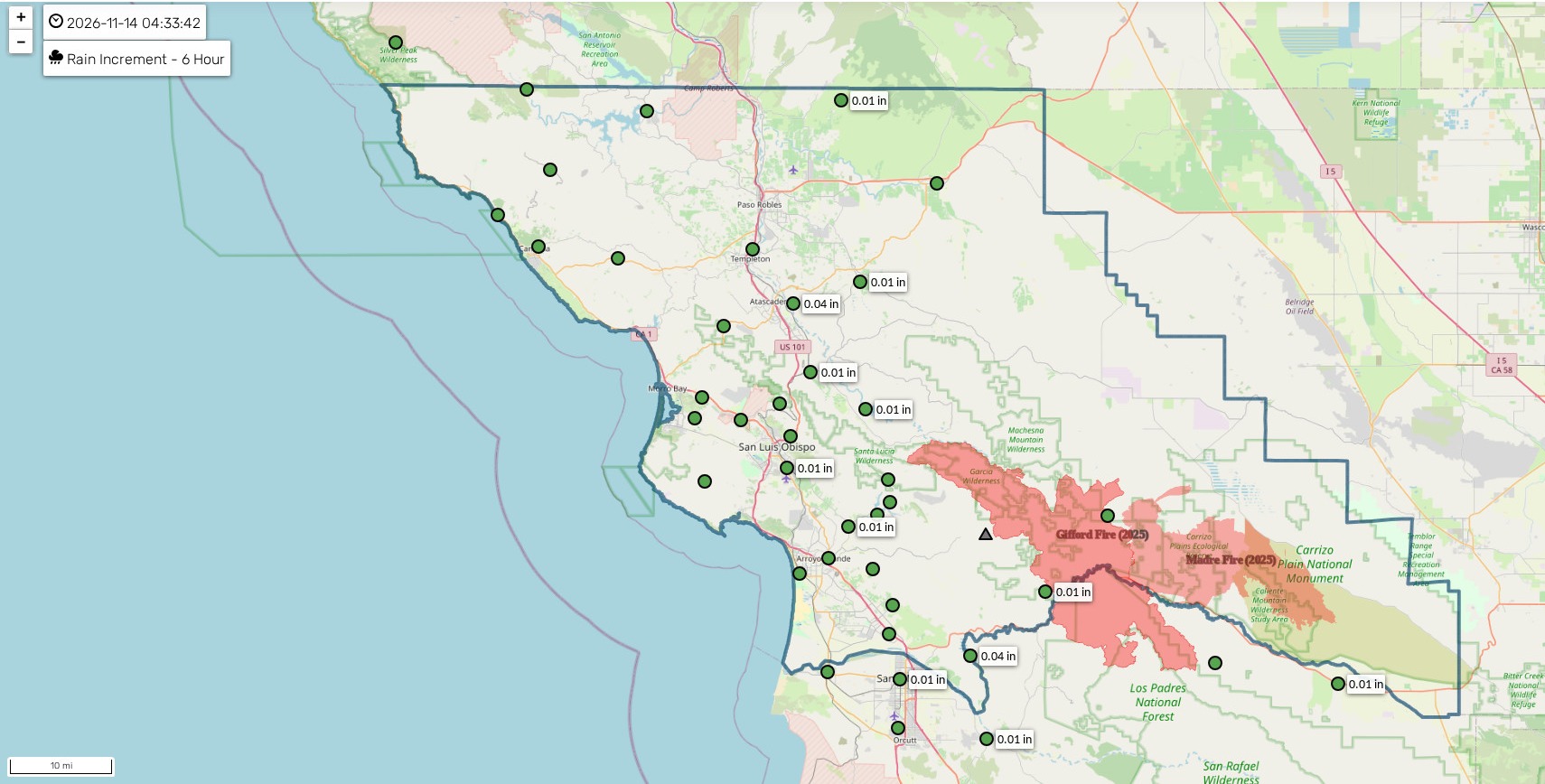
It's a great afternoon to check out the rainfall totals later in this post — the county gauges show what Friday's and Saturday's rain actually delivered.
📧 Get the daily forecast by email — one email each morning with the full Central Coast forecast:
Check this out
The swell that hammered the coast yesterday is easing today, but it put on quite a show. This was Pacifica Pier at its peak:
Drone footage of yesterday's sets exploding over the Morro Bay jetty, and clear over the harbor entrance marker:
Up the coast in Cayucos, the surf was pushing right onto Front Street around the high tide:
Local photographer Trisha Butcher was out in it — her photo set includes the Coast Guard boats working the Morro Bay harbor entrance and a surfer dwarfed by a giant wave:
And of course Mavericks went off — Kai Lenny, a mountain of a wave, and a save you have to see to believe:
And down the coast in Ventura County, the surf was nearly washing across Pacific Coast Highway near Point Mugu:
Coastal valleys
- Dry and mostly cloudy today, high near 69, light winds. A good day to be outside.
- Rain tonight after 10 p.m., low around 54; rain into Monday before 4 p.m., high near 63. Less than a tenth of an inch expected.
- Monday night partly cloudy, low around 45; Tuesday sunny, high near 64.
- Rain returns Wednesday, high near 63, continuing Wednesday night and Thursday, high near 62; a chance of rain Friday morning, then mostly sunny, high near 64; Saturday mostly sunny, high near 65.
Beaches
- Patchy fog before 10 a.m., then mostly cloudy, high near 67.
- The surf is still the story this morning: breakers 15 to 20 feet on west- to northwest-facing beaches, easing through the day. A High Surf Warning continues until 4 p.m. today and a High Surf Advisory follows until 3 p.m. Tuesday, with a secondary swell increase likely Monday. Watch for beach erosion, flooding of low-lying walkways and parking lots near morning high tide, dangerous rip currents, sneaker waves, and breaking waves at the Morro Bay Harbor entrance and the Pismo and Cayucos piers. Oceano Dunes and other low areas may see sandy beach flooding. Watch from well back.
- Rain tonight after 10 p.m., low around 53; rain Monday before 4 p.m., high near 61, north wind 10 to 15 mph with gusts to 25.
- Tuesday sunny, high near 62; rain Wednesday and Thursday, highs near 60 to 61.
Interior valleys
- Patchy fog before 10 a.m., then mostly cloudy, high near 66.
- Rain tonight after 10 p.m., low around 46; rain Monday before 4 p.m., high near 60. Less than a tenth of an inch expected.
- Monday night mostly clear, low around 39; Tuesday sunny, high near 62.
- Rain Wednesday, high near 60, and Thursday, high near 59; Friday mostly sunny, high near 61; Saturday mostly sunny, high near 63.
Santa Barbara Southcoast
- Mostly cloudy today, high near 71.
- Tonight mostly cloudy, low around 48; Monday a 40 percent chance of rain, mainly between 10 a.m. and 4 p.m., high near 69, northwest wind with gusts to 20 mph. Less than a tenth of an inch expected.
- Tuesday sunny, high near 68.
- Rain Wednesday after 10 a.m., high near 66, continuing Wednesday night and Thursday, high near 65; Friday mostly sunny, high near 66; Saturday mostly sunny, high near 68.
Marine — Central Coast
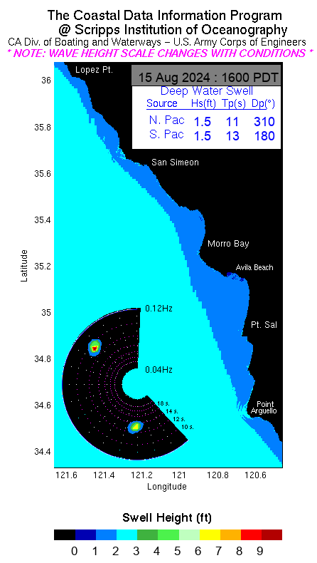
A Small Craft Advisory runs through early Wednesday. Dangerously large seas — observed at 18 to 26 feet in the outer waters and around 18 feet near Point Sal in the inner waters — ease some today, with a secondary peak Monday: 13 to 19 feet in the outer waters and 11 to 16 feet in the inner waters north of Point Sal. Small Craft Advisory winds are likely Monday through Wednesday, with a chance of gale-force winds Wednesday night into Thursday night as the bigger storm arrives. Dangerous breaking waves are expected at the Morro Bay harbor entrance.
🌊 Tides — Port San Luis: high tide 12:36 PM (4.5 ft), low tide 8:54 PM (0.5 ft). The early high at 4:06 AM (3.7 ft) hardly ebbs this morning.
Marine — Southcoast
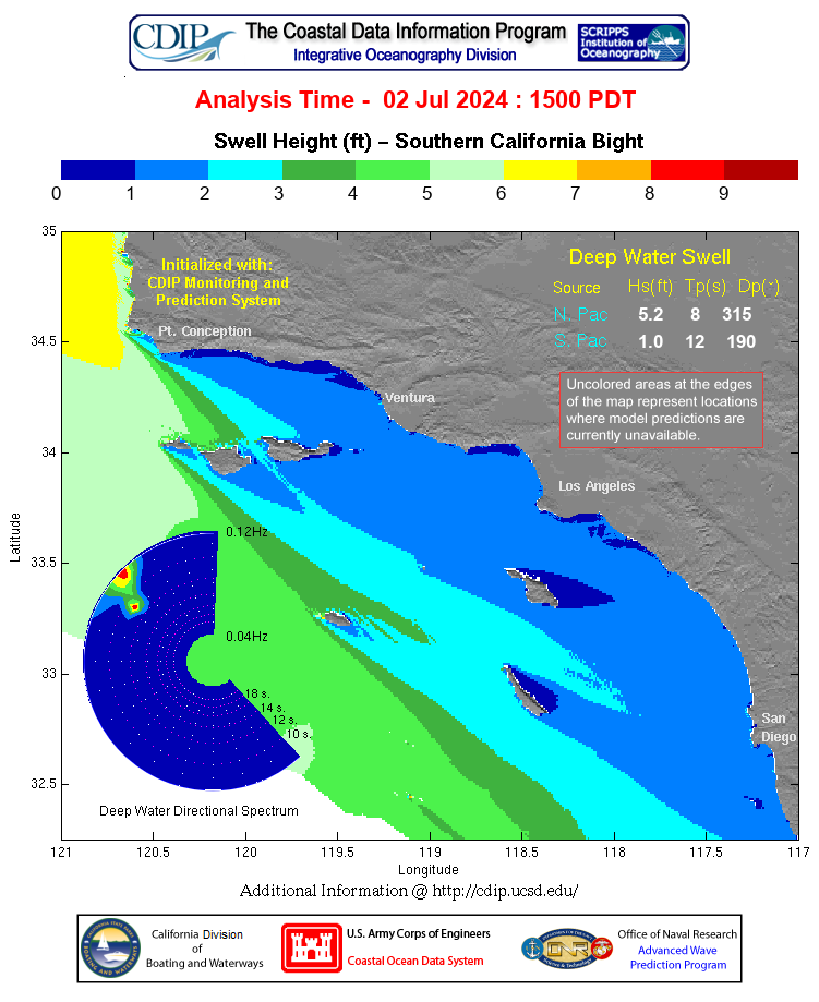
Small Craft Advisory-level seas continue through late tonight, with seas around 12 feet at the mid-channel buoy. Monday through Thursday, Small Craft Advisory-level winds develop, with a 40 to 60 percent chance of advisory-level seas and a 30 to 40 percent chance of gale-force winds Tuesday night and again Thursday night. Dangerous breaking waves are also a threat at the Ventura harbor entrance.
🌊 Tides — Santa Barbara: high tide 12:06 PM (4.5 ft), low tide 8:36 PM (0.6 ft). The early high at 4:12 AM (3.5 ft) hardly ebbs this morning.
Rainfall outlook
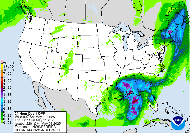
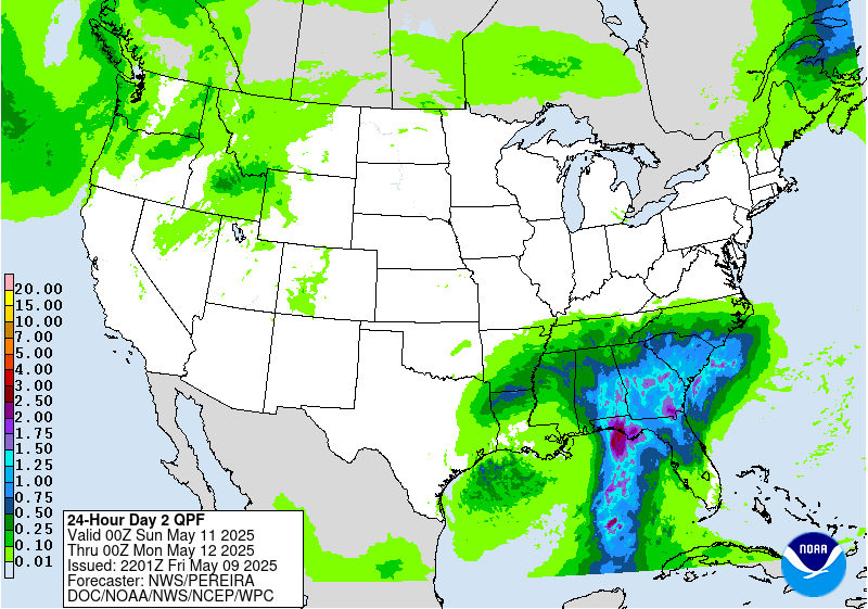
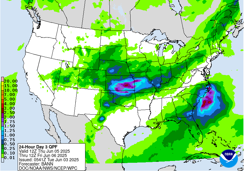
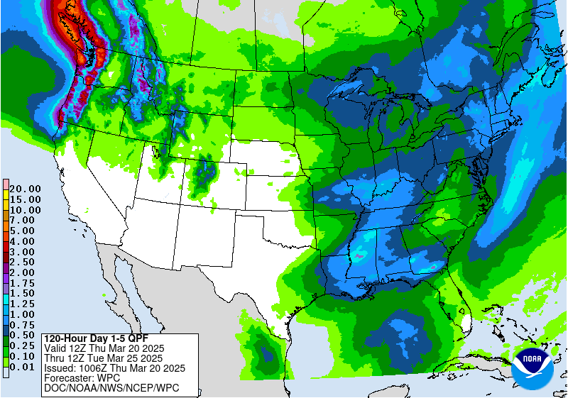
SLO County Rainfall
SLO County Reservoirs
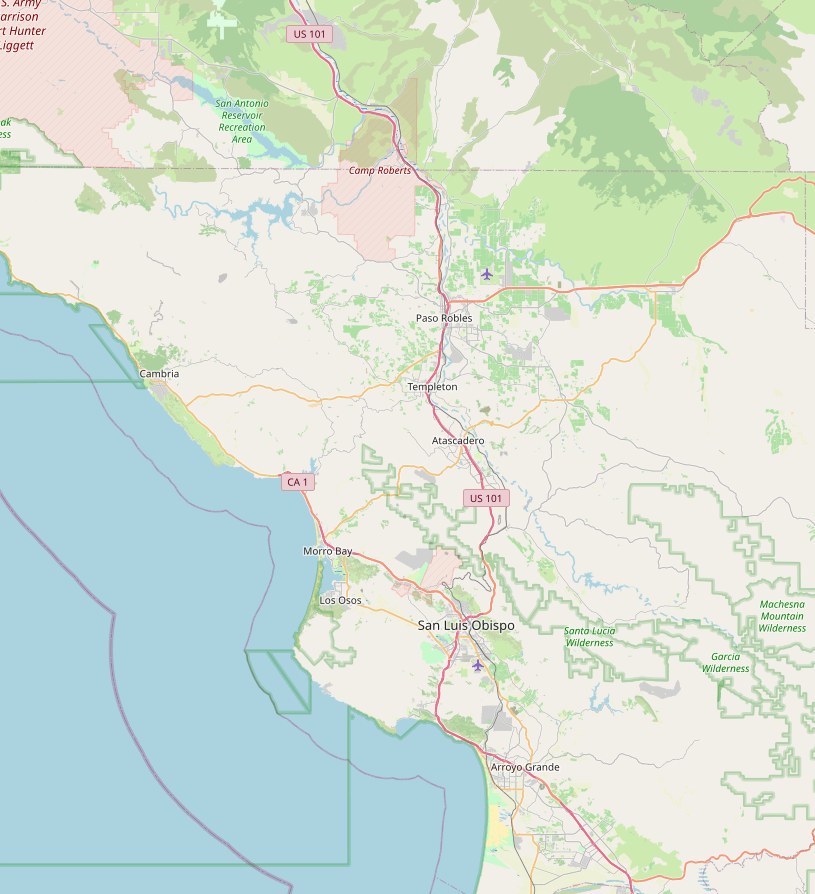
Tap a reservoir for its live report — lake level, storage and capacity.
Santa Barbara County Reservoirs
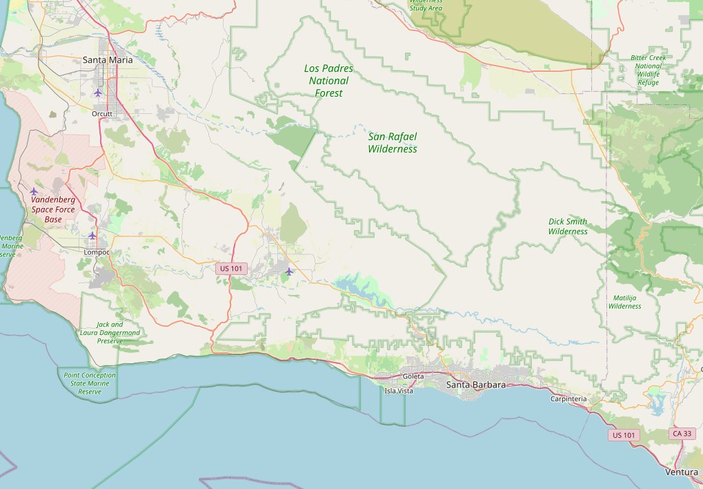
Tap any reservoir to open the county's live reservoir map.
 Twitchell Reservoir
Alisal Reservoir
Lake Cachuma
Gibraltar Reservoir
Jameson Reservoir
Lake Casitas
PDF — updated daily at 8 AM
Ventura County live rainfall map
Reports: SLO County Water Resources, USGS and Santa Barbara County Public Works. Maps © OpenStreetMap contributors.
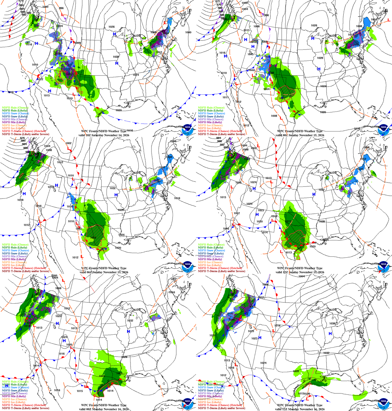
Frontal animation
El Niño Status
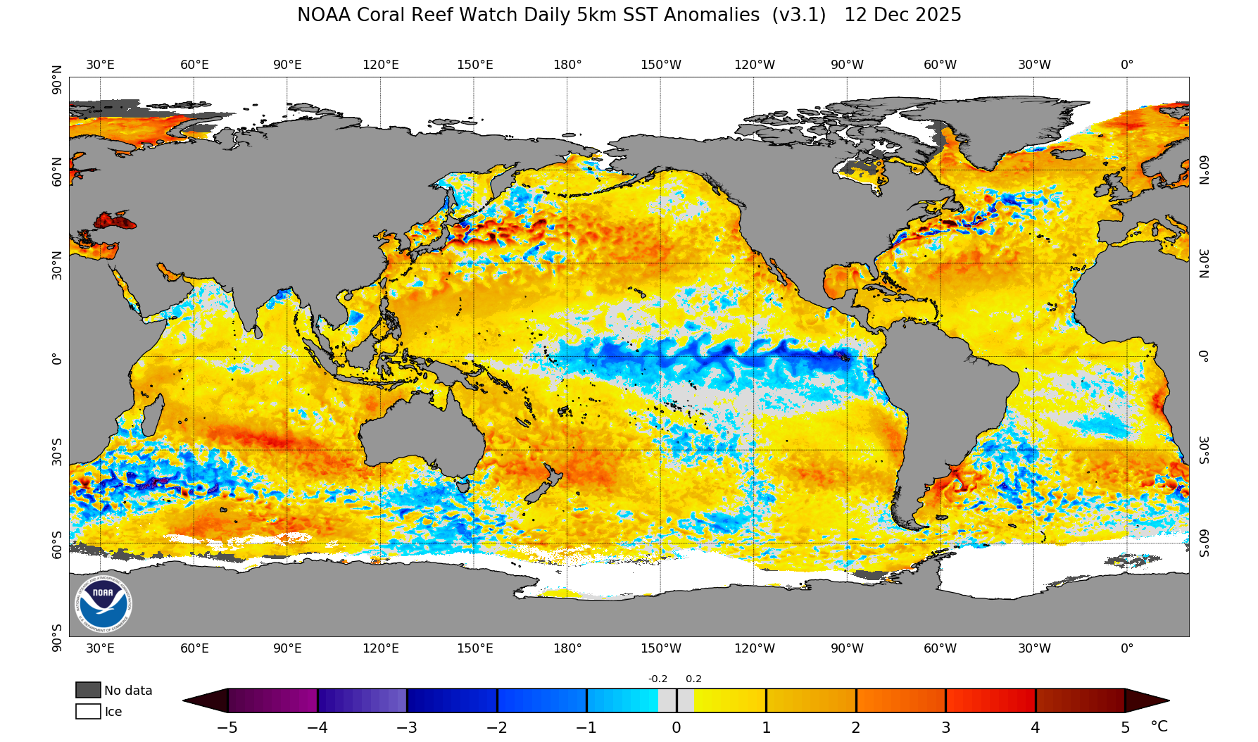
El Niño is strengthening, and it is now a big one. Sea surface temperatures in the eastern equatorial Pacific are running more than 4 degrees Celsius above average, with the key Niño-3.4 region at +2.5°C, Niño-3 at +3.6°C, and the far eastern Pacific at a remarkable +4.4°C. The warm water runs deep, too — subsurface temperatures are more than 10 degrees above average at depth — a deep reservoir that will keep feeding this event.
The Climate Prediction Center says a strong-to-very strong El Niño is likely through January–March 2027, at better than a 79 percent chance, and there is now about a 60 percent chance this becomes a historic El Niño, exceeding any since 1950. It is expected to keep strengthening before it begins to weaken in early 2027.
What it means for us: a strong El Niño tilts the odds toward a wetter-than-average winter across California, with more storms tracking into the state. It is not a guarantee — even a very strong El Niño does not promise rain in any given week — but the chances of a wet winter are higher than normal. The next official update comes December 10.
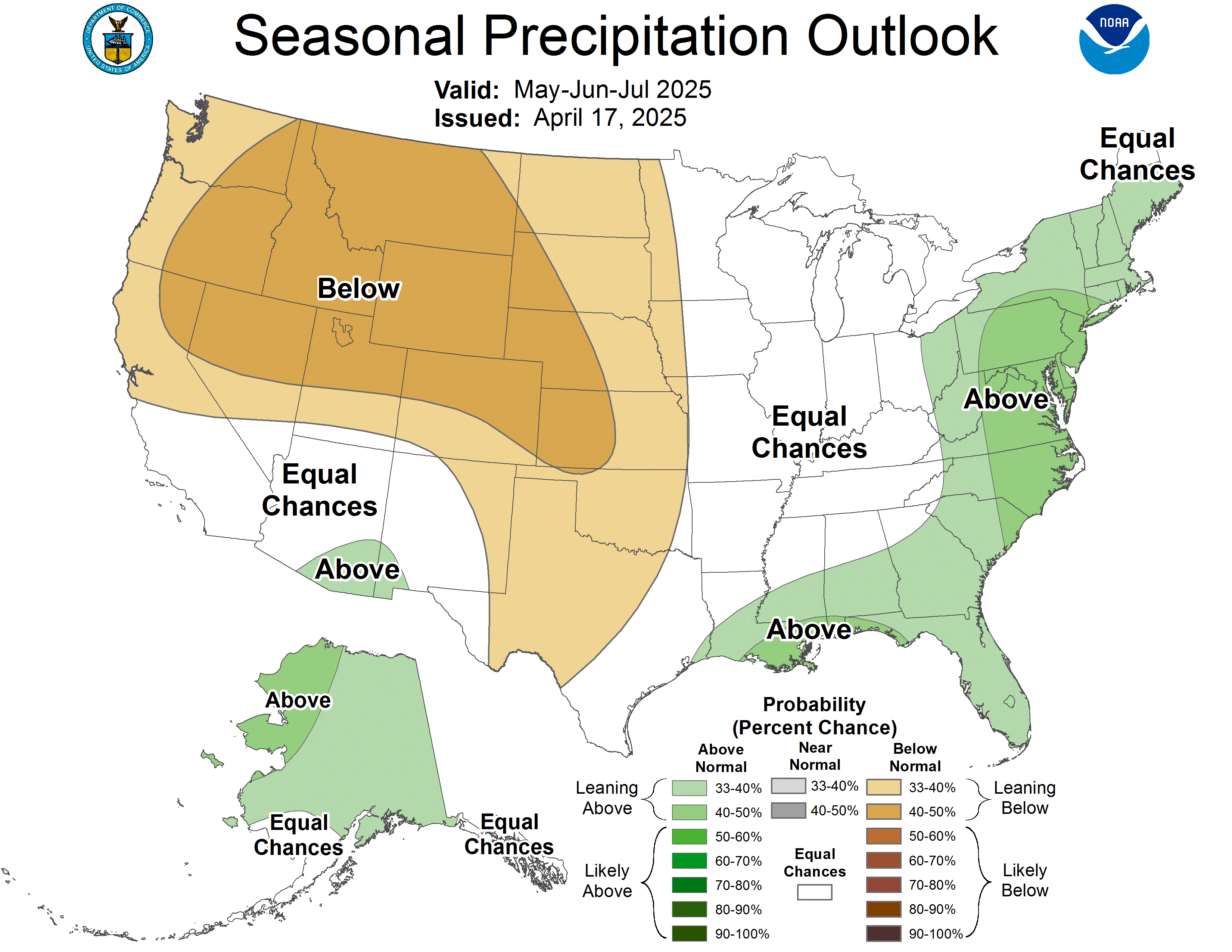
Long-range outlooks
X — @tvdave · Facebook — TVDaveHovde · Instagram — @tvdavehovde · TikTok — @tvdavehovde · LinkedIn — David Hovde · Email — 805weatherman@gmail.com