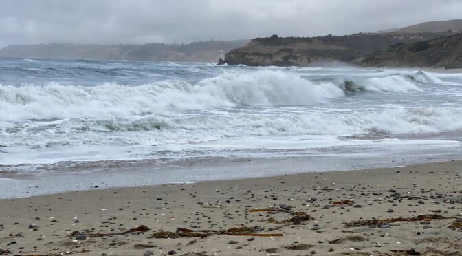
Good afternoon — hope you’re having a good afternoon. It’s Saturday, November 14th — World Diabetes Day, and National Pickle Day too. A big day around here: tonight’s the 17 Strong Celebration of Victory fundraiser, and the weather is giving us a little bit of everything to talk about on the way there.
Two words for this afternoon: clearing, and surf. The big story today is the huge waves — even though the skies are clearing, the ocean is putting on the biggest show of the week. Here’s the full picture.

Weather Anywhere
Want the forecast for somewhere else? Type any place — the forecast, stripped down to the words that matter.
Forecasts: U.S. places from the National Weather Service; elsewhere from Open-Meteo. Full Weather Anywhere page
Get Dave’s Weather as an app
Add the forecast to your home screen — one tap, and it’s right there every morning.
On iPhone: tap Share, then Add to Home Screen to install Dave’s Weather.
The big picture
A cold front moved across the Central Coast Friday, and it was a good, soaking rain. It is exiting to the south this morning, and the skies are clearing behind it — a few showers may linger into this afternoon, mainly near the Santa Barbara South Coast, but the rain is basically done for now. Highs today run from the mid-60s along the coast to the low 70s inland, with a northwest breeze at 10 to 20 mph, a little gustier along the coast.
We are dry tonight and into Sunday evening, under a ridge of high pressure, with a light offshore flow developing by Sunday. Then a second front approaches Sunday night and moves through Monday — the rain starts late Sunday and continues into Monday night, with showers lingering into Tuesday morning, on and off. It looks light — a quarter-inch or less, with the best totals across northwest San Luis Obispo County. Northwest winds pick up Monday night across the I-5 Corridor and the Santa Ynez Range, with a 30 to 40 percent chance of advisory-level gusts.
Looking ahead, Wednesday and Thursday bring the next system in — the models have been a bit inconsistent on timing and amounts, but it could bring one to two inches of rain, with the first real chance of snow at higher elevations since the current pattern. We’ll refine that as we get closer.
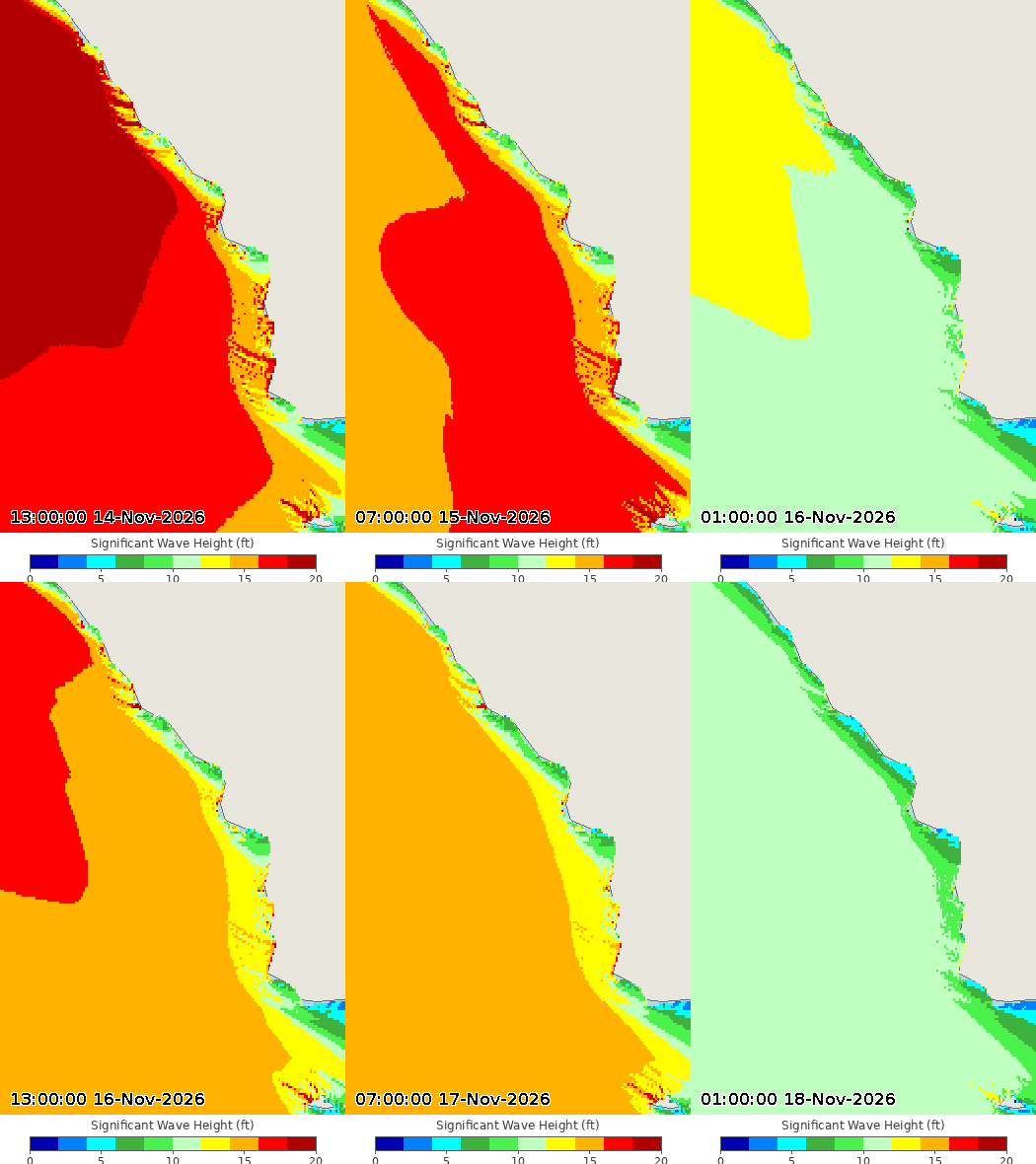
And then there’s the surf. A big, long-period west-northwest swell is building in, and it is the story of the weekend. Breakers will reach 18 to 25 feet on west-facing beaches today, with sets up to 25 to 30 feet — the highest surf of the season so far. A High Surf Warning is up through 3 AM Sunday, and the water is dangerous: strong rip currents and sneaker waves. If you’re headed to the beach today, watch from well back — this is not a day to get close to the water.
It’s a great afternoon to check out the rainfall totals later in this post.
Check this out
This reel making the rounds today shows what this swell is doing to piers and seawalls:
John Lindsey’s morning post digs into the local numbers — the Port San Luis tide gauge, tides running well above predicted, and why the noon high tide mattered:
And the National Weather Service posted the buoy numbers behind the big surf — 32 feet at 21 seconds at buoy 46042:
And this is exactly why you listen to the warnings — a man out on the rocks at Morro Bay today gets swallowed whole by a set. He climbed out, somehow:
More Morro Bay — drone footage of today’s sets exploding over the jetty and clear over the harbor entrance marker:
And up the coast in Cayucos, the surf was pushing right onto Front Street around the high tide:
Rainfall outlook
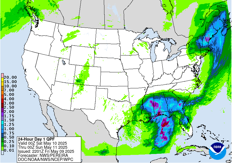
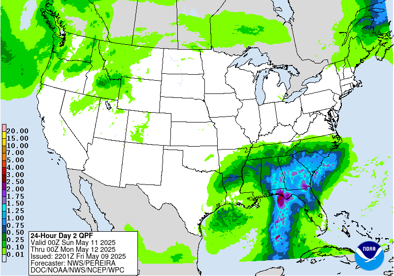
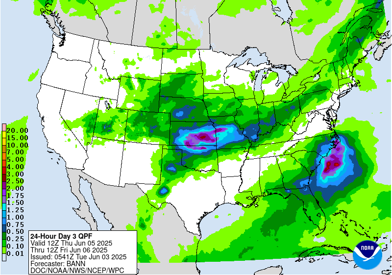
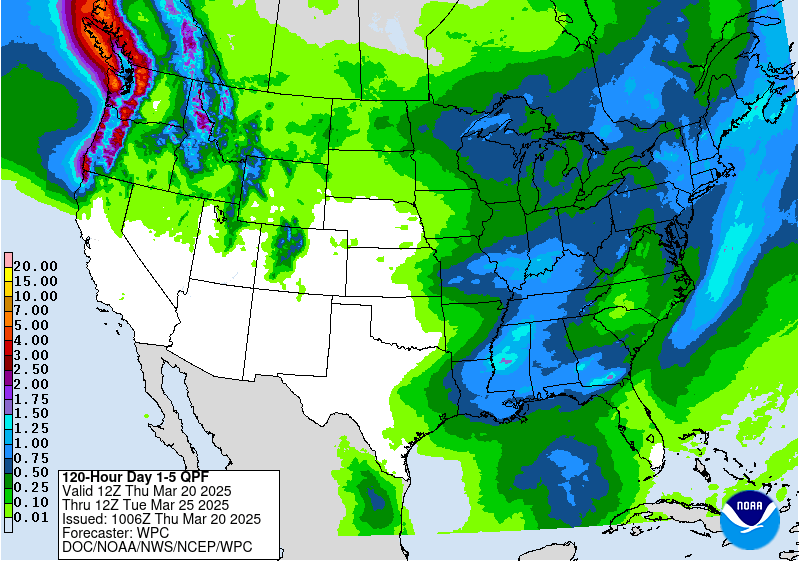
Rain chances pick up again Sunday night and Monday, with the next round of steady rain arriving Monday. Here’s how the rainfall outlook looks over the next few days.
SLO County Rainfall
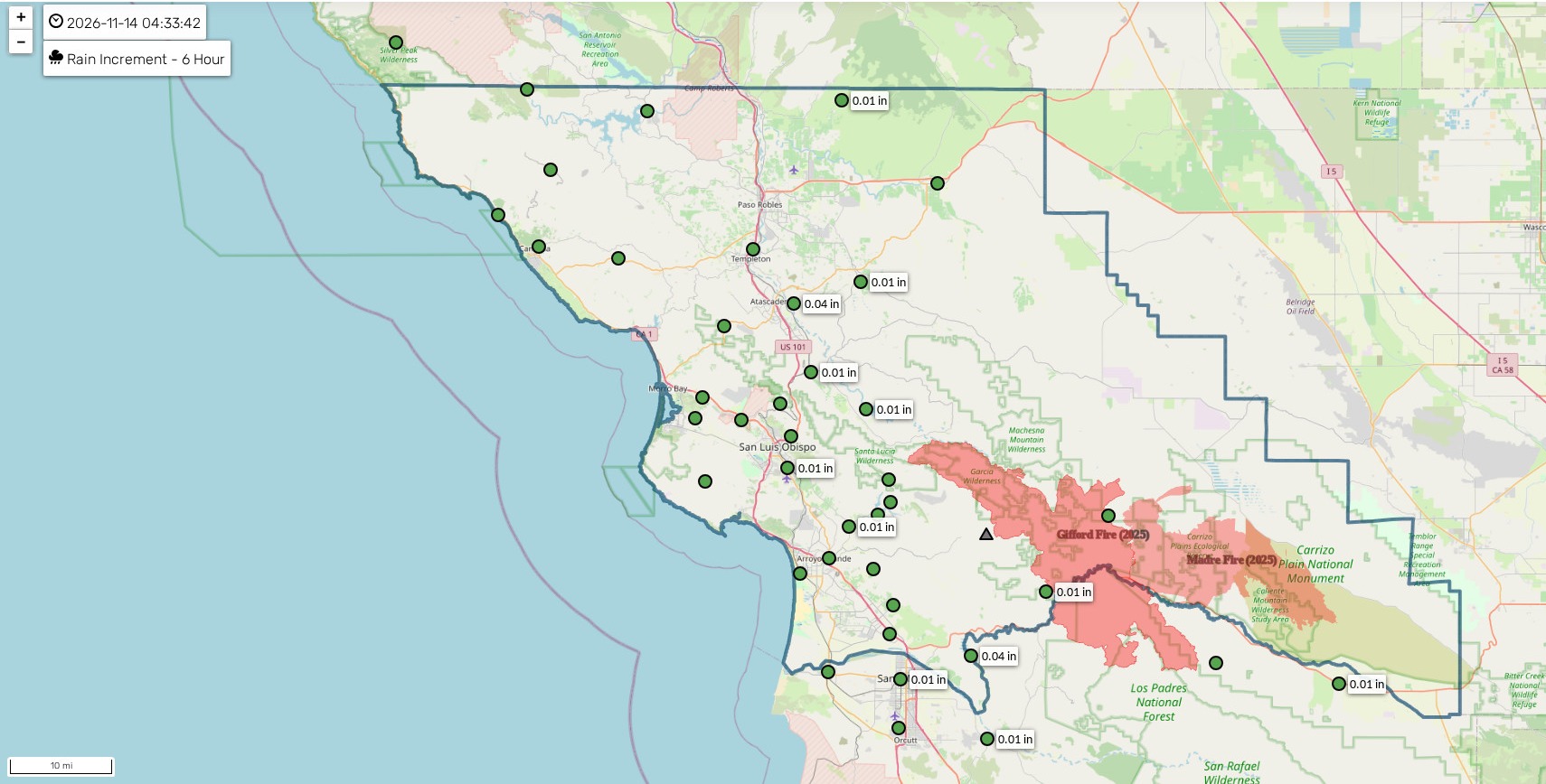
Here’s how much rain actually fell across SLO County in the last day — and the totals are impressive after Friday’s front.
Frontal animation
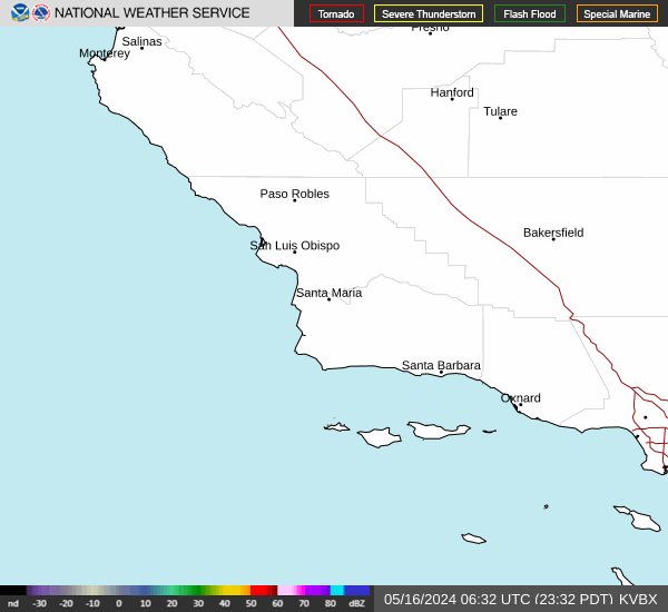
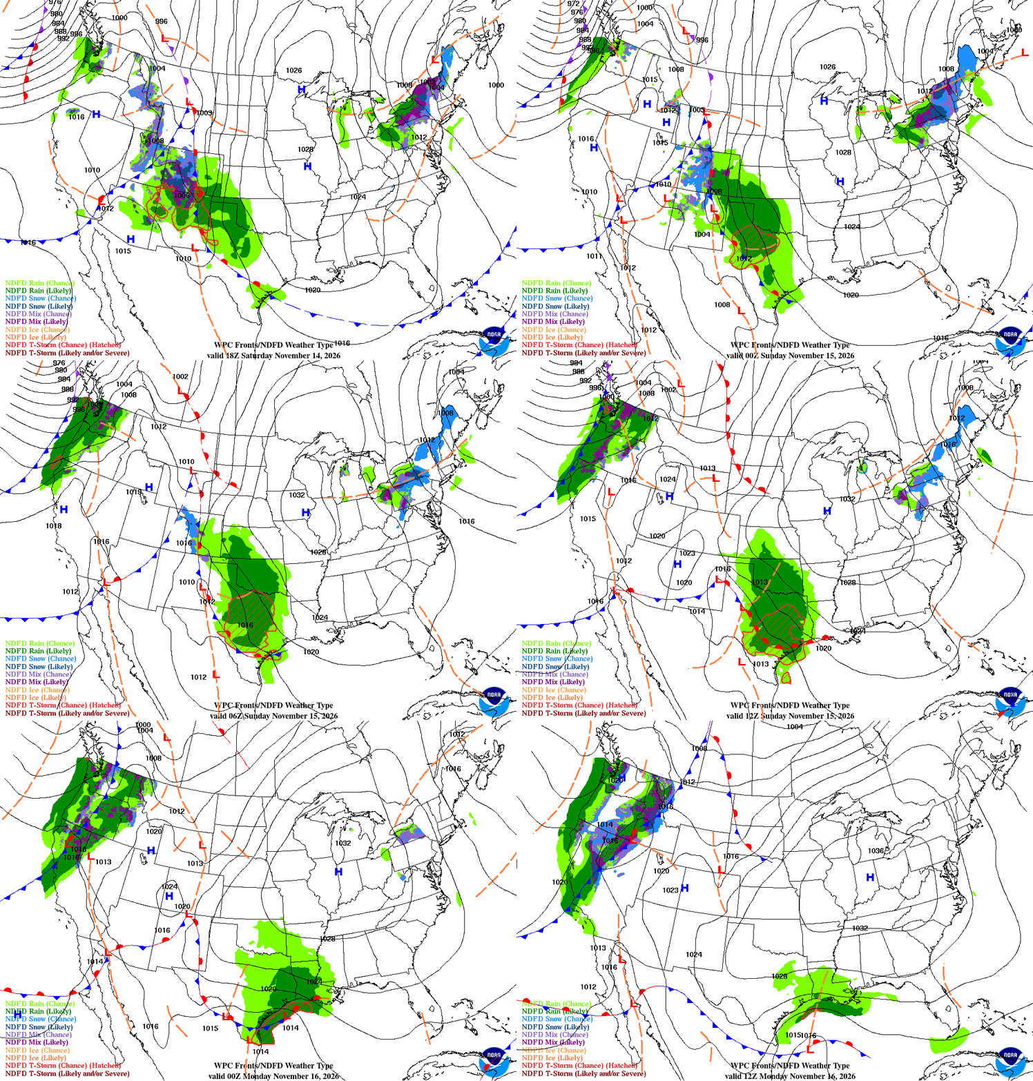
Here’s the front that brought Friday’s rain, as it moves out and the next one lines up behind it.
Coastal valleys
- Showers ending this morning, then partly cloudy this afternoon. Highs in the mid- to upper 60s. Northwest winds 10 to 20 mph, a little gustier along the coast.
- Tonight, mostly clear and cool, with lows in the mid-40s. Sunday is mostly sunny and a little warmer, with highs in the upper 60s to low 70s.
- Rain returns late Sunday into Monday, with showers on and off through Tuesday morning. Totals look light — a quarter-inch or less.
Beaches
- A big, long-period west-northwest swell is building in — breakers 18 to 25 feet on west-facing beaches today, with sets up to 25 to 30 feet. A High Surf Warning is in effect through 3 AM Sunday.
- Today: highs in the mid-60s, northwest winds 15 to 25 mph, gusty. Dangerous rip currents and sneaker waves — stay well back from the water.
- Sunday: surf gradually eases, but stays elevated, with breakers still running 10 to 15 feet. Monday: surf continues to drop, with a new swell arriving late in the week.
Interior valleys
- Showers ending this morning, then a mix of sun and clouds this afternoon. Highs in the upper 60s to low 70s. Northwest winds 10 to 20 mph, gusty in the afternoon.
- Tonight, clear and cool, with lows in the low 40s. Sunday is mostly sunny and warmer, with highs in the low to mid-70s.
- Rain returns late Sunday into Monday, on and off through Tuesday morning. Totals look light — a quarter-inch or less, with the best totals across northwest San Luis Obispo County.
Santa Barbara Southcoast
- A few showers linger into this afternoon, then clearing. Highs in the mid- to upper 60s. Northwest winds 10 to 20 mph.
- Tonight, mostly clear, with lows in the upper 40s. Sunday is mostly sunny and a little warmer, with highs in the upper 60s to low 70s.
- Rain returns late Sunday into Monday, with showers on and off through Tuesday morning. Totals look light.
Marine — Central Coast
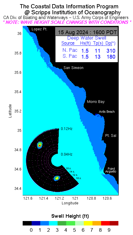
A big west-northwest swell is building in, with seas 10 to 14 feet today and breakers 18 to 25 feet along west-facing beaches — the highest surf of the season so far. A High Surf Warning is in effect through 3 AM Sunday. Northwest winds 15 to 25 knots, with gusts to 30 knots, easing tonight. Small Craft Advisories are up for the nearshore waters.
Marine — Southcoast
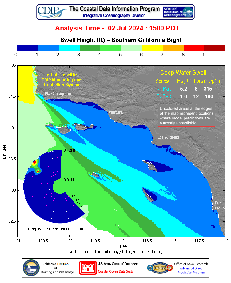
Southwest swell continues to ease, with seas 4 to 6 feet and a mix of west and south swell. Northwest winds 10 to 20 knots, with gusts to 25 knots. A Small Craft Advisory is in effect for the outer waters through this afternoon.
Tools

El Niño Status
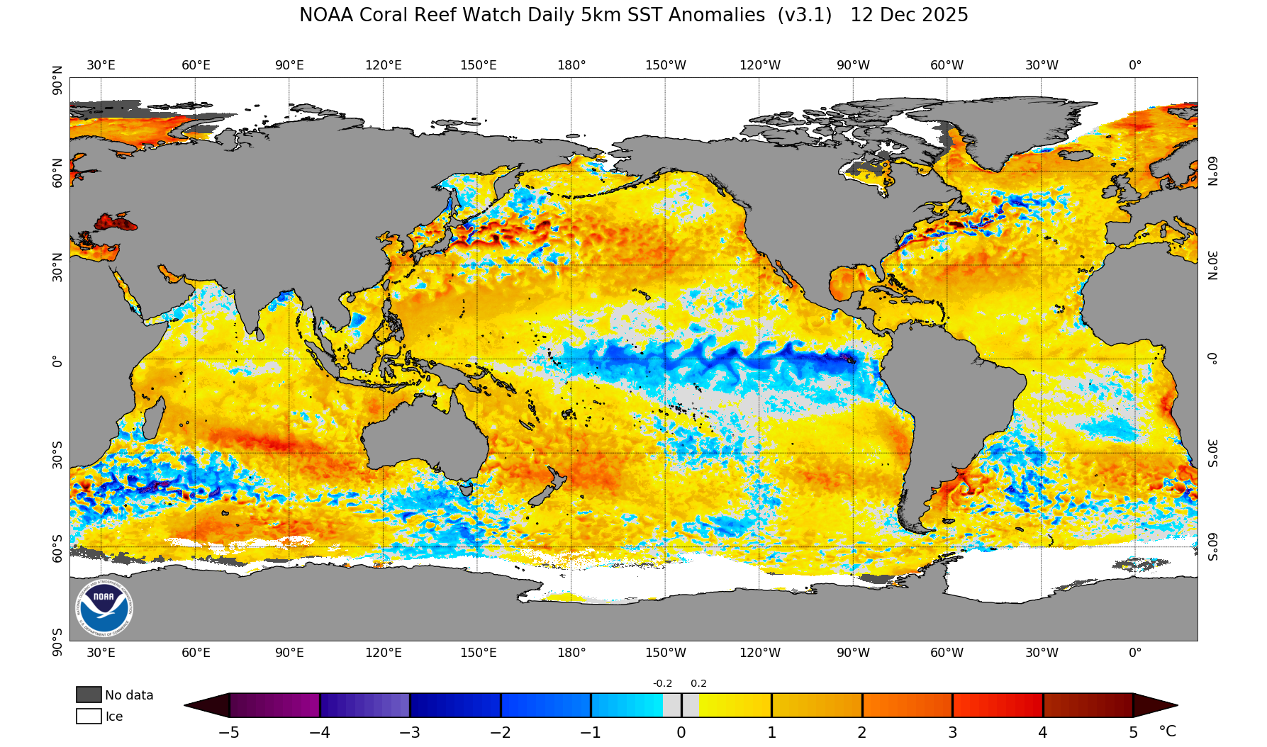
A strong El Niño is in place. Sea-surface temperatures in the Niño-3.4 region are running about 2.5°C above average, with Niño-3 at +3.6°C and Niño-1+2 at +4.4°C. Forecasters expect the strong-to-very-strong event to continue through January to March 2027, with about a 60 percent chance it becomes a historic event. The next CPC update is December 10, 2026.
Long-range outlooks